
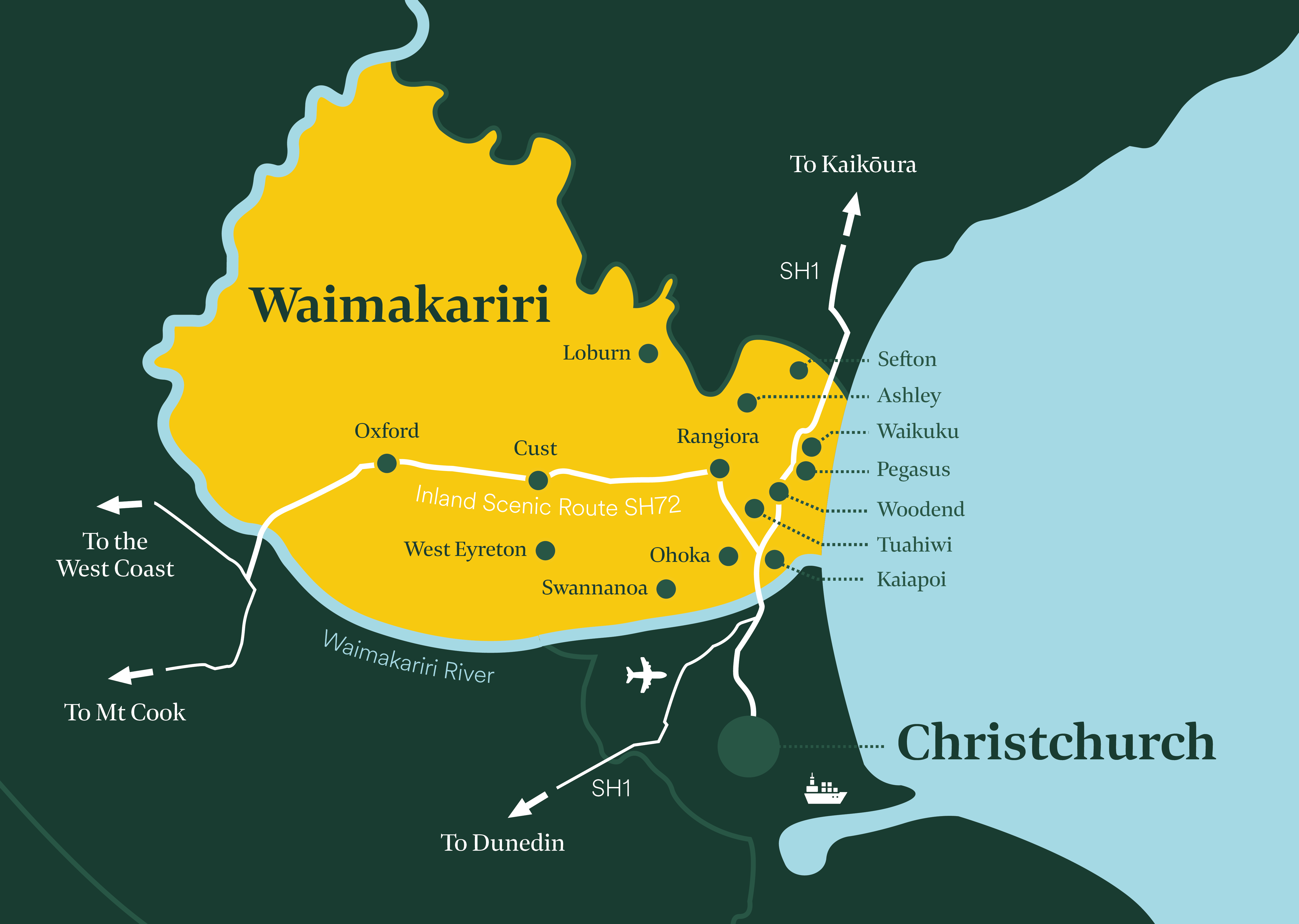
Rangiora is a bustling town just 35 minutes from Christchurch city. With almost 20,000 residents, Rangiora is the population centre of North Canterbury. It has a vibrant retail centre, a thriving business scene and a passionate community.
The population of Rangiora has grown and diversified rapidly over the last decade which has led to a growth in new businesses and housing development.
Retail and hospitality are some of the largest employers in Rangiora, alongside manufacturing, professional services, education, health and local government.
With a strong labour market, commercial land availability, excellent schooling options, abundant recreation opportunities and a short 20-minute drive to New Zealand’s second largest city, Rangiora offers the ideal work/lifestyle balance.


Rangiora ranks among the top urban areas in New Zealand in terms of growth and stands out as a major growth hub in Canterbury.
Click here for more information regarding living in Rangiora
This page is a brief overview of the business demographics and data for Rangiora. Last updated in February 2026.